
3D Scanning Surveyors in Stamford Hill
Get in TouchAt Site Metric Surveys, we provide expert 3D scanning surveyors in Stamford Hill to deliver precise spatial data for a variety of projects. Our services are ideal for construction planning, architectural design, and industrial applications, offering accurate point clouds and 3D models.
We use state-of-the-art laser scanning equipment to ensure high-resolution data capture. Our team is experienced in working across different sectors, covering Stamford Hill and the surrounding N16 5 postcode area.
Get in touch to arrange your 3D scanning survey with us today.
What Is 3D Scanning?
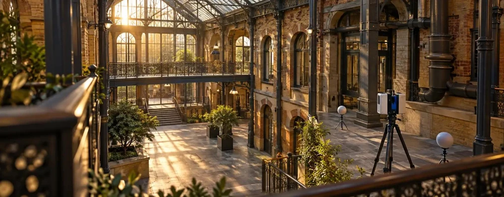
3D scanning involves using laser technology to create a detailed digital representation of a physical space or object. At Site Metric Surveys, we employ laser scanners like the Leica RTC360 and Faro Focus to capture thousands of data points per second, creating precise 3D models.
Our scanners operate with accuracy levels of up to 1 millimetre, making them highly effective for mapping complex structures and environments, useful in a range of fields including construction, engineering and heritage preservation.
We also use photogrammetry, which combines multiple images to reconstruct the scanned area, enhancing the detail of the 3D models. Our process involves registering point clouds, creating mesh surfaces, and texturing models to provide textured outputs.
These 3D models assist architects in planning renovations, engineers in structural analysis, and conservationists in documenting sites. Our 3D scanning services help clients visualise spaces accurately and make informed decisions.
Contact us today to discuss how we can support your project needs.
Book 3D Scanning Surveyors Today
How Much Does 3D Scanning Cost in Stamford Hill?
3D scanning services typically cost between £500 and £1,500 per day in Stamford Hill, depending on the complexity and size of the project. The type of equipment used, such as terrestrial laser scanners or photogrammetry-based systems, can affect pricing due to differences in precision and range.
Accessibility to the site and any health and safety considerations, like the need for Personal Protective Equipment (PPE) or specific permits, might also impact costs. Additionally, the required level of detail, whether a high-resolution scan of intricate architectural features or a more general topographical survey, and post-processing tasks such as creating 3D models, BIM (Building Information Modelling) integration, or contour mapping can further influence pricing.
For extensive projects or frequent surveys, bundled pricing and discounts may be available. Contact us to discuss your specific requirements, and we'll provide a detailed quote tailored to your needs.
Why Choose Site Metric Surveys for 3D Scanning in Stamford Hill?
At Site Metric Surveys, we pride ourselves on delivering reliable and accurate 3D scanning in Stamford Hill. Our team uses advanced laser scanning equipment, such as Leica ScanStation and Faro Focus scanners, to capture detailed, precise measurements.
We use renowned software like Autodesk ReCap and Trimble RealWorks, allowing us to process data efficiently and generate comprehensive 3D models. We comply with industry standards such as ISO 9001 to ensure quality management throughout every project.
Our experience spans various sectors, including architecture, civil engineering, and heritage conservation, ensuring we can address complex challenges with tailored solutions. For instance, in civil engineering, our scans aid in structural analysis by providing accurate spatial data for complex sites.
Architectural clients benefit from detailed models that facilitate renovation and restoration projects. Our commitment to accuracy and customer satisfaction sets us apart.
For dependable 3D surveying services, reach out to us today.
Speak to a 3D Scanning Surveyors Expert
What Types of 3D Scanning Are Available in Stamford Hill?
We offer several types of 3D scanning services in Stamford Hill, each suited for specific applications and project requirements. We employ the latest scanning technologies to deliver precise and reliable results.
Terrestrial Laser Scanning: Ideal for large structures and environments, it captures detailed 3D models from the ground. This method uses devices like the Leica ScanStation and Faro Focus, which can scan up to 1,000 metres with millimetre-level accuracy.
LiDAR Scanning: Used for aerial and ground surveys, this method is effective for providing topographical data and landscape mapping. Our systems, such as drones equipped with LiDAR sensors, offer resolutions suitable for complex terrains and vegetation analysis.
Close-Range Photogrammetry: Useful for high precision imaging of smaller objects or detailed site inspections. This technique involves DSLR cameras to create textured 3D models, ideal for architectural heritage documentation and structural analysis.
Our experienced surveyors will help you choose the most suitable option based on your project's needs, ensuring an accurate and efficient scanning process.
Frequently Asked Questions
Can 3D Scanning Be Used Indoors and Outdoors?
Yes, our 3D scanning services are versatile and can be used both indoors and outdoors, capturing accurate data in various conditions.
What Is the Turnaround Time for 3D Scanning Projects?
Projects are typically completed within one to two weeks, depending on size and complexity. Urgent projects can often be expedited; please enquire for details.
How Is the 3D Scanning Data Delivered?
We provide data in multiple formats, including point clouds, 3D models, and CAD files, depending on your requirements.
Does 3D Scanning Require Any Site Preparation?
Minimal site preparation is needed. Our team will advise if any specific arrangements are necessary prior to scanning.
Is 3D Scanning Suitable for Heritage Sites?
Absolutely. Our non-invasive scanning technology is ideal for documenting and preserving heritage sites, providing detailed records without damage.
Get a Free Quote for 3D Scanning Surveyors in Stamford Hill
For precise and reliable 3D scanning surveyors in Stamford Hill, choose Site Metric Surveys. Contact us today to discuss your project requirements.
We cover Stamford Hill (Greater London)