
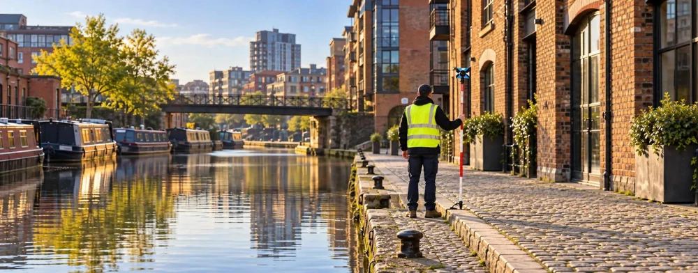
Topographical Surveyors in East Riding of Yorkshire in East Riding of Yorkshire
Get in TouchAt Site Metric Surveys, we provide topographical surveying services in East Riding of Yorkshire, delivering precise land measurement and mapping. Our expert team uses cutting-edge equipment to capture detailed data on land elevations and features, supporting developers, architects, and engineers.
We cover projects across the HU17 8 area, ensuring accuracy and efficiency for a broad range of clients. Contact us to arrange a survey in East Riding of Yorkshire.
What Is a Topographical Survey?
A topographical survey is a process of mapping and analysing the features of a specific land area. At Site Metric Surveys, we execute these surveys to gather detailed information about the natural and man-made features of the landscape in East Riding of Yorkshire.
Our services include measuring elevations, identifying utilities, and producing digital maps that ensure informed decision-making for construction and design projects.
We use advanced surveying equipment such as GPS units, total stations, and laser scanners to accurately capture elevation changes, contours, and surface features. In East Riding of Yorkshire, where varied terrains exist, our surveyors are adept at adapting to different environmental conditions.
We can identify underground utilities using ground-penetrating radar, which helps prevent costly excavation errors.
The results of our surveys are delivered in GIS and CAD formats, compatible with planning software used by architects and engineers for seamless project integration. Whether you're planning a small residential development or a large commercial complex, our topographical surveys provide the precision and detail required for successful project outcomes.
Contact us today to discuss your specific survey needs.
Book Topographical Surveyors Today
How Much Does a Topographical Survey Cost in East Riding of Yorkshire?
A topographical survey typically costs between £400 and £1,200 in East Riding of Yorkshire, depending on the size and complexity of the site. Key factors influencing the cost include the area covered, the level of detail required, and site accessibility.
We use precise instruments such as total stations, GPS equipment, and laser scanning technology to gather accurate data. The survey might cover contour mapping, boundary delineation, and detailing existing structures and vegetation.
Complexity may arise in areas with dense foliage or uneven terrain, which can extend the survey timeframe. Additionally, surveys for urban properties may require coordinating with local authorities for access and safety compliance.
We provide tailored quotes to ensure a fair and transparent pricing structure. Contact us for a detailed quotation based on your specific needs.
Why Choose Site Metric Surveys for Topographical Surveying in East Riding of Yorkshire?
Choosing Site Metric Surveys for your topographical surveying needs in East Riding of Yorkshire offers several distinct advantages. Our experienced team uses state-of-the-art technology such as GPS and total stations to achieve precise results.
We also make use of 3D laser scanning to capture detailed data over large areas, which helps in producing comprehensive digital terrain models. Our surveys are conducted in adherence to the RICS guidelines, ensuring precision and compliance in all measurements.
We use advanced CAD software to process and deliver detailed topographic maps that are critical for planning and analysis. Our services cater to a wide range of clients, from architects and engineers to municipal authorities.
We provide full coverage of site features and underground utilities, assisting in risk mitigation and project planning. We have a proven track record of supporting clients in architecture, construction, and land development.
Get in touch to experience our reliable and accurate survey solutions.
Speak to a Topographical Surveyors Expert
Frequently Asked Questions
How accurate are your topographical surveys?
Our topographical surveys in East Riding of Yorkshire achieve accuracy typically within 5 to 10 millimetres, due to GPS and total station technology.
How long does a typical survey take to complete?
The duration of a survey depends on site size and complexity but typically ranges from one to three days for most East Riding of Yorkshire projects.
What formats do you provide the survey data in?
We provide topographical survey data in formats including CAD and PDF to support a wide range of project requirements in East Riding of Yorkshire.
Do you offer services for residential projects?
Yes, we conduct surveys for both residential and commercial projects in East Riding of Yorkshire, catering to diverse client needs.
Can you work on sites with restricted access?
We are equipped to handle sites with restricted access in East Riding of Yorkshire, employing flexible methods to gather necessary data accurately.
Get a Free Quote for Topographical Surveying in East Riding of Yorkshire
Contact Site Metric Surveys today for a customised quote on topographical surveying in East Riding of Yorkshire.
We cover East Riding of Yorkshire